28 November 2021
Advice on House and Contents Insurance June 2021
21 July 2018
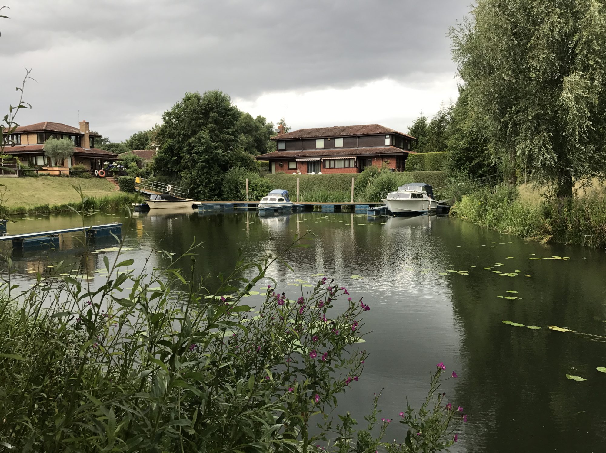
When looking for building and contents insurance online, most websites ask for a postcode for the property to be insured. Most likely, the postcode for Thorpe Meadows will result in the website refusing to provide insurance cover. Invariably, the online refusal is because the website is programmed to interrogate the Environment Agency’s online ‘Risk of Flooding (Rivers & Sea) Mapping’. Most of the properties on the Thorpe Meadows Marina are classified as either medium of high in their likelihood of flooding.
In 2009, the Directors engaged Ratcliff Land & Engineering Surveys Ltd to undertake a survey of the threshold levels (underside of the front doorstep, or in a few cases the damp course level) of all Thorpe Meadows Marina properties. The survey was conducted using survey grade GPS and traditional survey methods. The survey established an accurate and reliable height above sea level for each property. All properties were shown to be in the low flood risk category for insurance purposes. A ‘Surveyors’ Certificate’ raised by Ratcliff was issued to each property (to kept with the Deeds), detailing the relevant threshold level and category of flood risk.
The contradiction between the Environment Agency’s and the Survey’s assessments of the flood risks lies primarily in the method in which the Agency draws its flood risk maps. The Agency’s maps are based upon aerial photography with a minimum cell area resolution of 50m. With the cell height being categorised by the lowest level within the cell area, most Thorpe Meadow Marina properties are categorised by the level of the Marina water or a low part of the property’s surrounding garden. The Directors have brought this anomaly in the Agency’s Risk of Flooding Mapping to the Agency’s attention. However, the Agency is not expected to alter its mapping based on localised information before 2019.
Nevertheless, Residents seeking building and contents insurance should contact insurers directly and mention the Ratcliff survey and the existence of the survey report. Emphasise that their property, if it is the case, is categorised as low flood risk. For more information please contact one of your Directors.
Linked Attachments:
- Environment Agency Risk of Flooding Map for PE3 6GA
- Copy of Ratcliff Survey Certificate
